APPLICATION MODULES
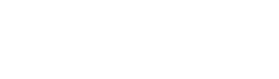
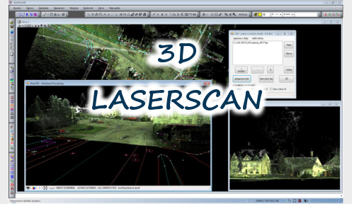
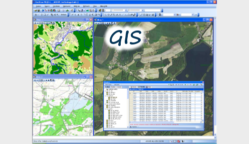
GIS

Work with various formats of vector and raster data, edit data in spatial database system and use web map services in your projects. Use advance options for feature drawing and editting, analyze spatial data, create spatial and property querries, work with topollogy, change symbolization, create and print maps, use specialized modules and create your own tools...
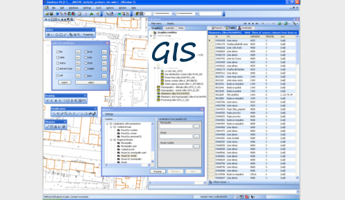
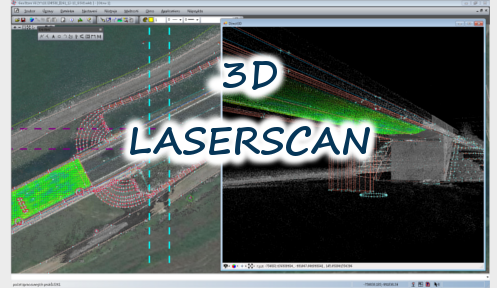
3D LASERSCAN
View and edit point clouds data via internet, display sectional areas of space, draw features direct in 3D space, combinate point clouds data with another spatial data (technical maps, orthophoto, cadastre etc.). Color points by sea level, laser ray reflection intensity or by class...
SPECIAL MODULES
Special applications / modules for Companies and Institutions in Czech Republic. These solutions are focused on Czech legislation and environment. For example it is module for working with technical maps, creating geometric plans or reparcelling module.